Lambs!
We got the train to Mytholmroyd from Leeds station. I was excited to see a HST in Leeds station, but the carriages had had their original doors replaced by sliding electric ones. Boo. Once outside the now closed White Lion pub (the nominal start point), we made our way along the towpath and then onto a path out the valley. Both of us had done the Mytholmroyd race in previous Decembers so we were well aware of the fairly stiff climb out. This passed and we reached a more traverse-y track.
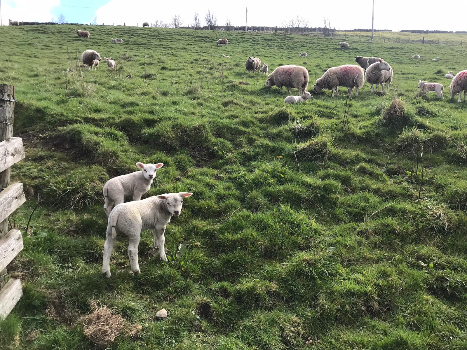
It was at this point I started reading the route description sheet and decided it was semi-decent, and I continued to read off it. This proved useful as we corrected a semi-wrong turn early on, to reach another track and continuing to some pleasant woods, before another climb up to Old Town and its mill. There's some new-build esque properties on the track next to the mill, yet the mill looks like it's in a state of semi-dereliction. The sight of a well kept cricket pitch in Old Town kept me happy as we jogged on past a chapel and to our only maps vs notes altercation. The map showed us turning right at some cottages, to Far Shawcroft Farm and then left to join the road while the notes had us joining the road having turned left at the cottages. So we followed the map to find a ramshackle gate blocking the path, with a horse in the middle of the path. We backtracked and followed the notes. Very bizarre. We did see some lambs though.

We picked up the route again soon and had an enjoyable "west yorkshire" descent down flags into another nice wood with a stream. Jimbo was ahead here and a helpful passerby basically stopped the traffic for us. We were soon down into Hardcastle Crags, with some bemused National Trust said hello while directing traffic in the car park. The drag up to Gibson Mill on the track was very chatty and we were soon there. Having spotted the portaloos, I commented that I didn't need the trowel after all. Nevertheless it was not required anyway. 1 hour down, so far so good. It's only a recce remember.
The next section up to Slack was great, fun narrow woodland paths. Another descent to another valley followed with a pleasant climb up the other side. I'd decided I wanted to eat so I did, yet we still managed to overtake some cyclists while munching. So that was good. Next came another pull along the Calderdale Way (we made a slight wrong turn here and ended up doing two sides of a triangle, but to not much damage) and descent down to the ruined Staups Mill. Another nice woodland section followed down to Jumble Hole Road. Here we made another error as I was on the lookout for a mill with a tall tower, so missed a turning where there was no tall tower. We soon made up for the mistake and came back on route by the railway footbridge.
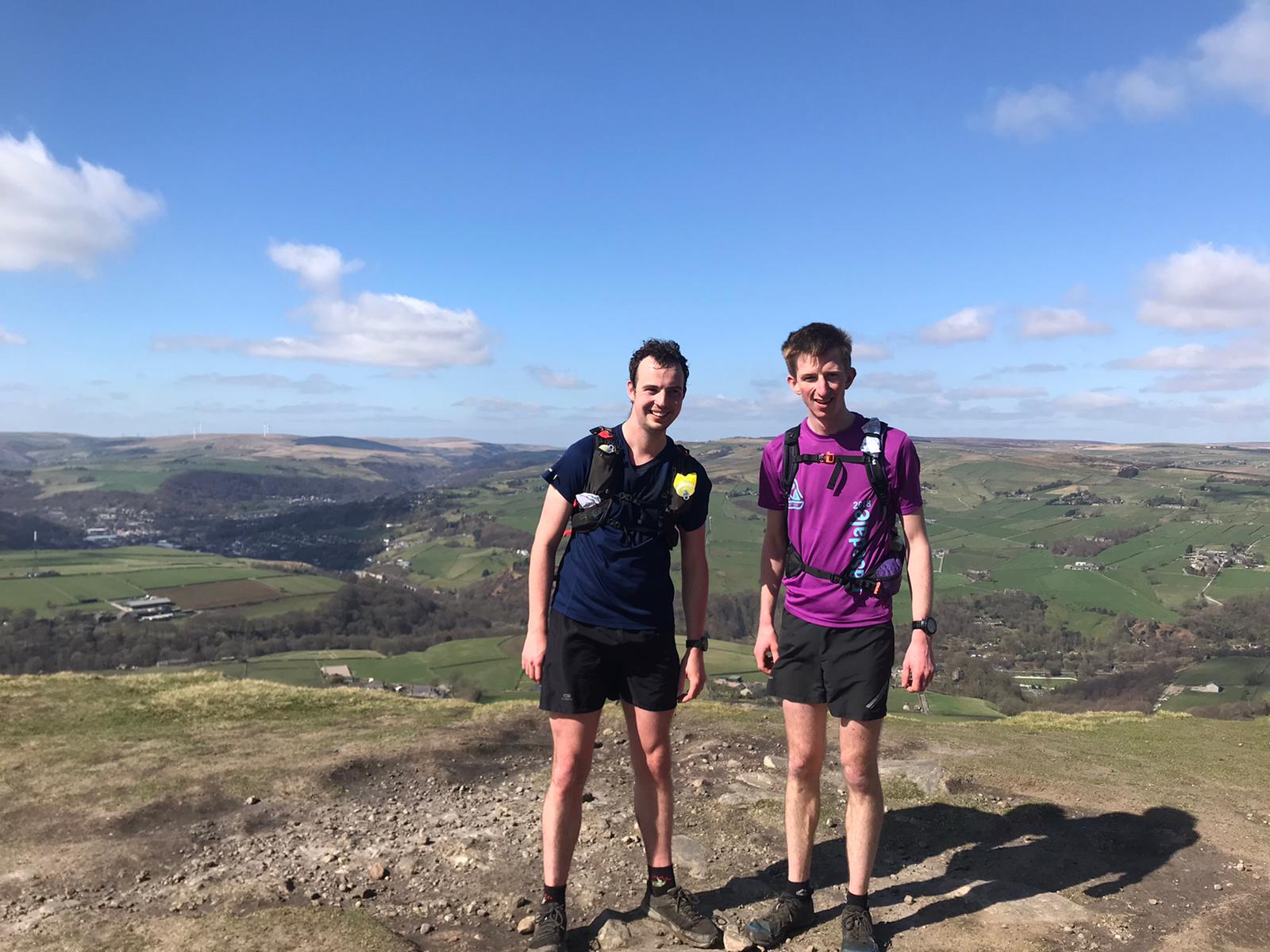
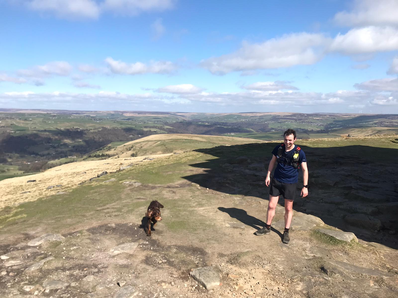
A well timed road crossing and we set our sights on Stoodley Pike. I was beginning to flag, perhaps not realising it at first, but it was apparent by the time we were hit with the climb up to the pike. Jimmy stormed ahead, while I made modest progress and sweated rather a lot for the conditions. In hindsight I should've eaten at the pike. The signs of a bonk were appearing. With that done and with 45 minutes or so to the A-class cutoff (did I mention this was "just a recce"?) I was feeling pretty good, after all it took me far less than that to descend during the various races up the pike. However, I hadn't properly appreciated the exciting descent lying in wait.


My initial thoughts relating to past races where you pick a pretty straight line to the pike and back were misguided. Having barelled down through a nature reserve following some navigation faff on the moorland (and me beginning to flag quite a bit), suddenly the prospect of having to go uphill again made itself known. I wasn't best pleased about this but rather than make my protestations known to James, I just sat behind him and plodded. He was happy to oblige and eventually the final climb was done. I could see the village now, just as the 3 hr mark came and went. Another steep rooty descent passed and we were in the start field for Coiners. I protested slightly at the prospect of a short climb up the lane (it was nothing really) to the Park control with just over ten minutes to go to the cutoff. A final descent through fields followed, across the river, then to the busy road where vital seconds were lost getting across. The canal arrived. Eurgh. Probably should try to run this. Two bridges. I hung on, following James, saying hi to the goose that we saw earlier, and finally round the corner to the pub. Check of the watch, we'd made it within the "A-class" time. Not bad for a recce.
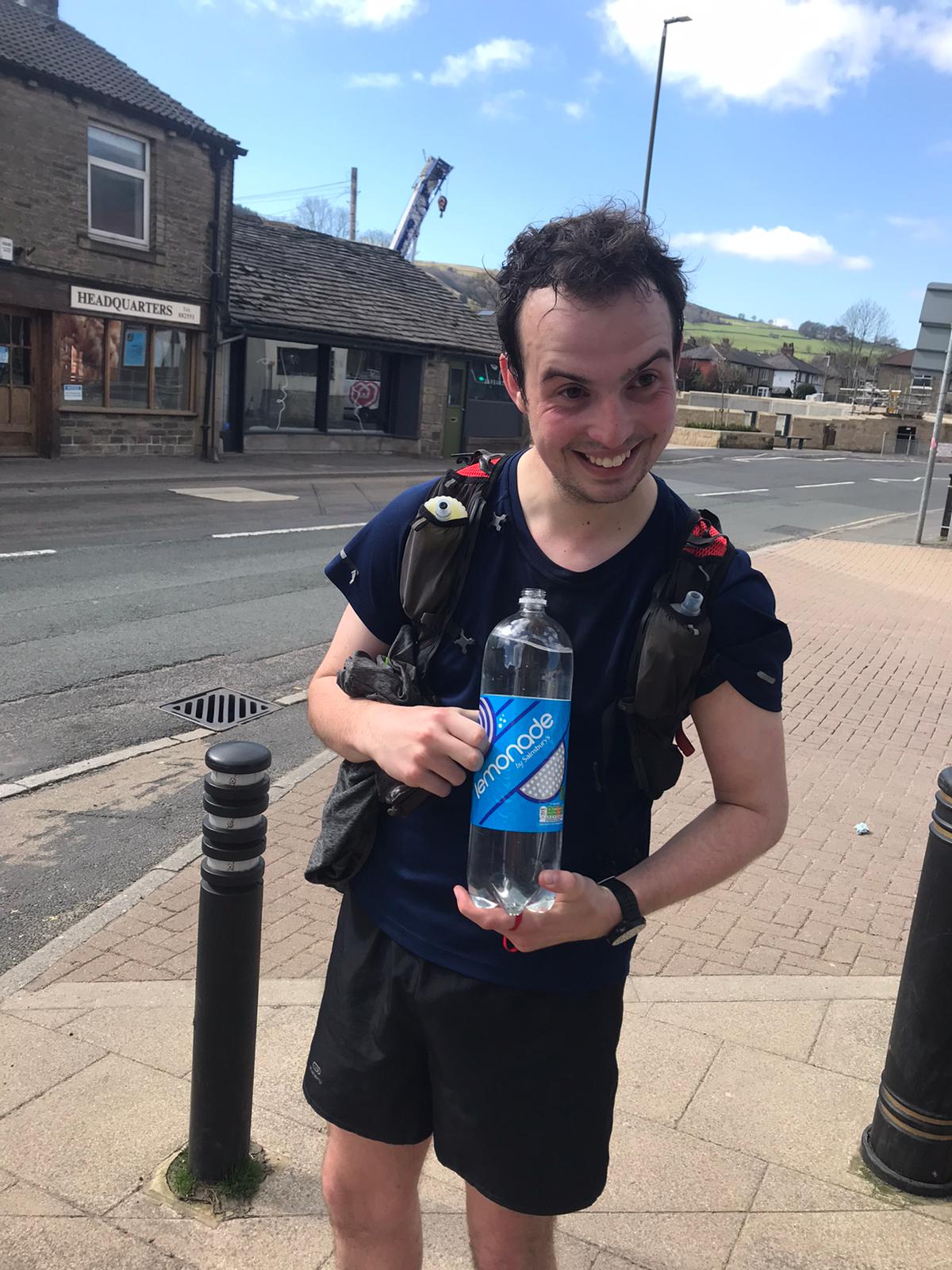
I consoled myself with a large bottle of lemonade from Sainsburys (confirming it was the full fat one - I wasn't paying twice the price for an eighth of the liquid if I'd bought Coke). A stop off at the bakery for some cinamon swirls and "leaky" foccacia thing for Jimbo followed before an achy wander up the ramp to the station.

All in all, a cracking route, would recommed. The route notes are well written and easy to follow, the (A3!) map with the route on is handy too, even at A4. There's plenty of info on the gofar site, and the FRA forums. The splits from my watch are below.
| Checkpoint | Elapsed Time hh:mm:ss |
|---|---|
| White Lion (start) | 00:00:00 |
| Old Town Mill | 00:34:25 |
| Gibson Mill | 01:00:04 |
| Staups Mill | 01:48:30 |
| Stoodley Pike | 02:28:36 |
| Track Junction | 02:51:16 |
| Park Cottages | 03:04:35 |
| White Lion (finish) | 03:13:08 |