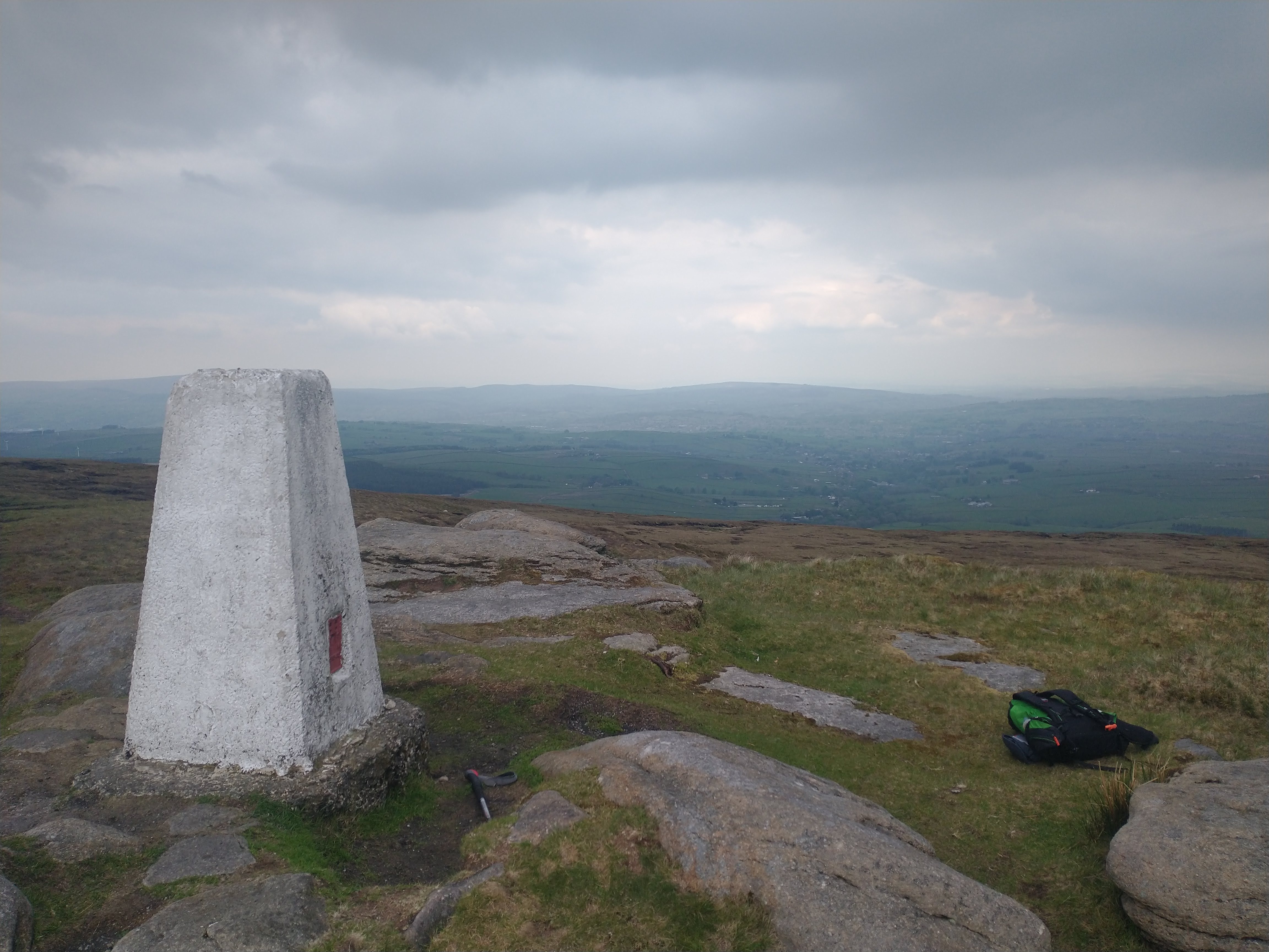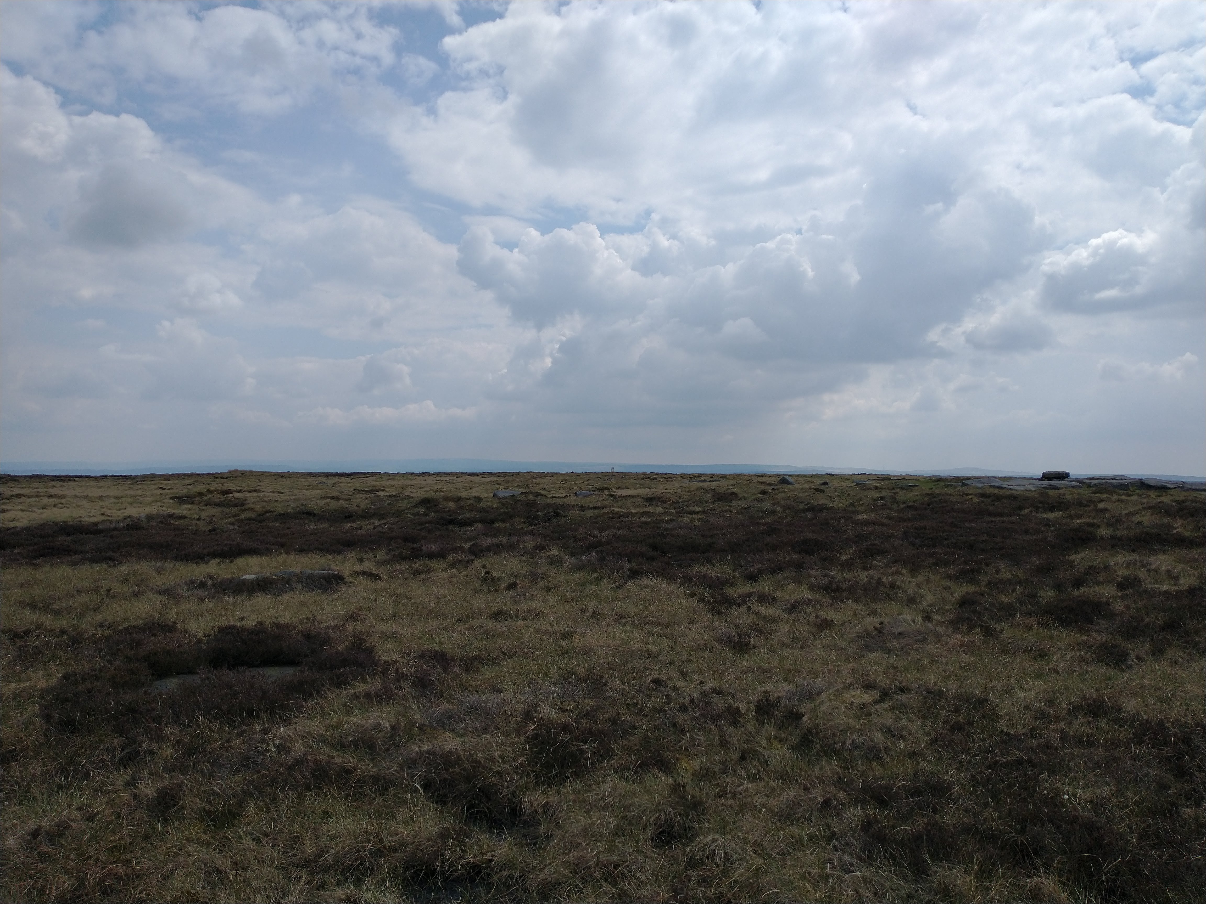
Lad Law Trig
I caught the train destined for Blackpool North with everyone else in Leeds, apparently (it's half term, I discovered) and having survived the mayhem, I made it to Hebden Bridge station. The lift sign at the station entertains me: there's no way it's original but they've made sure it's consistent with the rest of the station typography. Lovely stuff. Musings like this will keep me sane on a long run in the heat. I bumped into a runner draining the dregs from his softflask as I descended from the station towards the park, I asked if he'd had a goodun, apparently he'd done 14, and had a bit more to go so presumably was continuing past the station.
I went rogue and went straight across the grass in the park and made for my (nominal) start point: bridge number 17 on the canal. I'd ummed and aahed over shoes, and opted for my fairly shiny new mudclaws (£50 woohoo) rather than my walshes, just because "26" miles in walshes wouldn't be the most enjoyable experience. Also I blamed the walshes for slowing me down on Tuesday night at a club run, it definitely wasn't my awful climbing/descending nor lack of fitness.
I set off unceremoniously, and had a pleasant little jog along the canal for half a mile or so, before a steep climb up through some woods to the track I planned to take. The first footpath passes right through some gardens with a variety of "so Hebden Bridge" signage pointing the way before emerging on a higher track to a bowling green. Last time I passed this way, there were some folk playing bowls, but nobody today. The pubs are open, I suppose. Or they were off to Blackpool North with everyone else.
I hauled myself up the hill, very slowly, and allowed myself a breather before a pleasant jog along a contouring track towards Bridestones. Having done this route before, I was slightly annoyed at taking the wrong fork (rectified very quickly) at one junction, and annoying a friendly homeowner when I couldn't be bothered to get my map out to work out how to leave their yard. But I got there. Once on the road approaching Bridestones, I could see the trig with its very nice white coat glinting in the sunshine. I remember last time, it had taken me just over an hour to get to Bridestones, but I had ran up the last hill so I'd make better time. I didn't fancy this today, and I took the hill at a more relaxed pace.
The next section was new to me, having decided to follow the local's advice from last time and was much more pleasant than the tussocks that I chose last time. The road section wasn't too busy. I knew the next section down to the Widdop road and passed fine. I met some ramblers on the climb up from the Pennine Bridleway. When I brought up the heat as potentially too warm, I was told to wash my mouth out, I promised I would when I reached a stream. Thankfully my stagnant stream from last time was flowing better, and I stopped to refill my bottles before the climb up Lad Law. No wanting to bail today, I was committing. The path up to Lad Law was very straightforward: the first section follows the oil road, built by an oil company in a fruitless attempt to drill for oil on the moor. From the end of the road, a very clear trod climbed up to the summit, and the highest point of the day. Importantly, it was also in Lancashire.

I knew the next section would be pathless and boggy (one online account described it as "one of the most featureless boggy sh*t holes I have ever come across"). I took a bearing over to Crow Hill, and identified what looked to be the hill. I looked at the romer on the compass to have a rough guesstimate of the distance (about 3 km; on the 1:50k romer, not the 1:25k (oops) - no damage as I realised my blunder once at Crow Hill). The bog was fine, perhaps because I was expecting it to be a bit poor, but it was mostly runnable or steady walking and before long I had made a beeline for the line of boundary stones where I'd pick up a rough path towards Alcomden Stones. The boundary stones were rather a poor effort, but I found what looked to be the right place to run back into Yorkshire. The path alongside a ditch was also alright with a couple of serious boggy bits, but nothing too awful, and I was soon at Alcomden Stones. Here I picked up a proper path (bumped into some folk who'd spotted a lizard) and made it over to the trig. From previous experience I knew there was a nice path down to Top Withens, and I decided I'd stop there. This was a nice break, millionaire's shortbread was delightful, but I was very jealous of the folk nearby munching on a Gregg's.
The next section was back to fell terrain, after a short section on (normally lethal) flagstones on the Pennine Way I climbed up to the Stoop, a route I knew alright having done it in reverse in the past. From the Stoop, I made the decision to maintain height and continued to Cock Hill on increasingly rough terrain; the mast being a useful feature to aim for. Again, I was expecting this, so it wasn't too bad. Once across the road (at a bus stop!) and over a stile, the plan was to pick up the footpath to High Brown Knoll. The Strava heatmap implied there was a path all the way, and the OS map showed a path on the ground and a public footpath all the way too.
I handrailed a fence, and hopped a gate (all the stiles seemed to have been dismantled, but this is all access land) and took a bearing towards my path. I couldn't find one at all, and remained tussock hopping until about 100 m before the trig. I was irritated. On looking at my strava trace, I should have been to the west. I suspect that the OS path and the OpenStreetMap paths are not in the same locations. I did see a deer though. That was cool.

From here, I was tempted to straightline it to the final trig, but having experienced the lack of path from Crow Hill, I decided to follow the paths I could see on the ground. This strategy proved successful, and I was soon there, and having a wee chat with some folk out for a walk. Now with a barbecue calling, I descended down through the golf club, drag along the road, descent past some goats into the edge of the village and across the park to the bridge. Success, I got round.
There was some sort of drumming event going on in the park. The leader man's t shirt said "Straight Outta Hebden". This tickled me. On to the coop for ice cream and a bottle of pop. Happy days.
The splits from my watch are below.
| Checkpoint | Elapsed Time hh:mm:ss |
|---|---|
| Hebden Bridge (Bridge no. 17 on the canal) (start) | 00:00:00 |
| Bridestones | 01:05:01 |
| Hoof Stones | 01:34:55 |
| Boulsworth Hill | 02:56:44 |
| Withins Height | 03:55:09 |
| High Brown Knoll | 05:23:39 |
| Sheepstones | 05:57:54 |
| Hebden Bridge (finish) | 06:19:01 |